
Tracks ridden by people like you
324 tracks and 156 spots with real geometry and difficulty rated by riders who have been there. Not an editorial selection and not an algorithm’s guess — a map the community built out of its own rides.
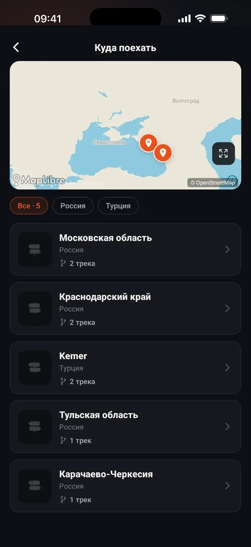
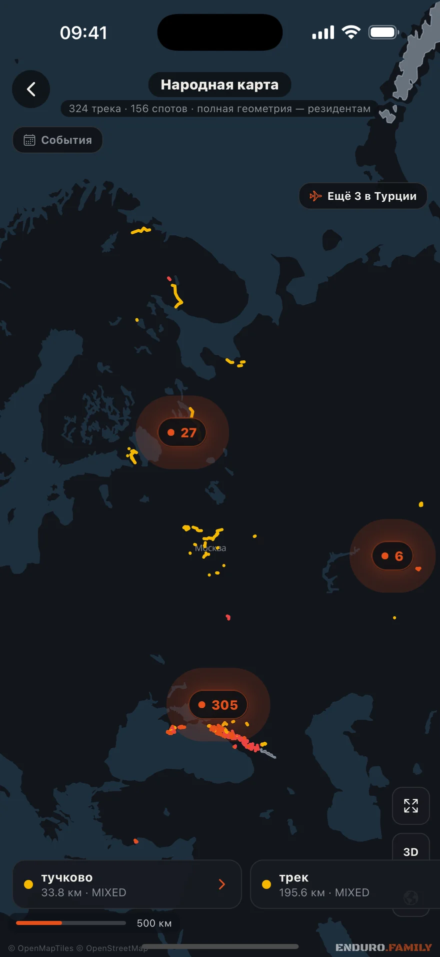
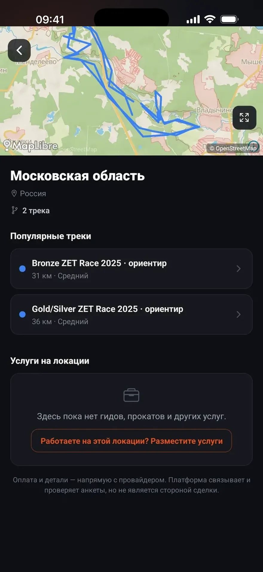
A map built from recorded rides
It’s made of tracks people recorded on their own rides. That’s why it has things you won’t find in any other service.
Routes come from rides
Any recorded ride can become a track on the shared map. The geometry comes from the GPS recording of the ride.
Difficulty is set by a person
The level is set by someone who has ridden it — so “hard” here is hard.
Spots form on their own
Where tracks cluster, the map marks a spot: how many routes, what level, who rides there and what services are nearby.
An area downloads whole
The map, satellite imagery, terrain and tracks move into your phone. Deep in the woods with no signal, everything opens exactly like at home.
Satellite and terrain
On top of the schematic, a satellite layer and 3D terrain — so you understand what kind of climb is waiting for you.
Moto and ATV
Routes are tagged by vehicle type: what's passable on an enduro bike isn't always passable on an ATV.
Where the routes already are
The map grows with the community: every new track adds weight to its region. If your area is still thin — record a ride, and it will show up.
Moscow region and central Russia
Close-by rides for every weekend
The Northwest and Karelia
Rocks, lakes and long hauls
The Caucasus
Mountain passes, elevation gain, multi-day rides
The Urals and Siberia
Taiga, fords, long expeditions
The South and Crimea
Dry almost all year round
Belarus and Kazakhstan
Offline maps cover both countries
See what you’re getting into
Every track has distance, elevation gain and a terrain profile. The numbers don’t depend on who’s rating: a 1,200-meter climb looks the same to a beginner and to a hard enduro pilot.
Works without a signal
A downloaded area works fully offline: the schematic, satellite, terrain, other people’s tracks and your own. Russia, Belarus, Kazakhstan, Uzbekistan, Turkey, Spain with the Canary Islands. Ride recording works offline too and uploads once the connection returns.
Routes across the backcountry
Today the map shows tracks other people have ridden. Next comes working with a route of your own: take it into your device, and build one that keeps to dirt.
Export to a navigator
Any track on the community map as a GPX or KML file. Opens in Garmin, AlpineQuest, OsmAnd, Locus.
Dirt-first route building
Point A and point B. A “Less asphalt” slider — and the road goes through the woods, not down the highway.
Next in the queue: trail freshness and an on-route corridor. We’ll announce them when they ship, not before.
A route is a hint from the community, not a guarantee of passage. Assess the conditions on the ground.
The full map unlocks on the ENDURO plan
Browsing the map and spots is free. Full route geometry, loading a track into your device and offline area packs come with the subscription — 124 ₽ per month billed yearly.
- Offline maps of six countries: Russia, Belarus, Kazakhstan, Uzbekistan, Turkey, Spain
- Satellite, terrain and a 3D route flyover
- 300+ routes with track navigation
- A garage with a maintenance log and reminders
Add your route — the map gets better
Every recorded track makes the map more accurate for everyone else — including the riders who’ll come to ride in your area.